Home > Europe > United Kingdom > Wales > Denbighshire > St Asaph
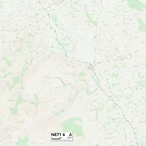
Newcastle NE7 7 Map

![]()
Wall Art and Photo Gifts from Map Marketing
Newcastle NE7 7 Map
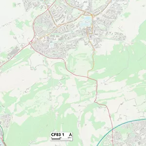
Postcode Sector Map of Newcastle NE7 7
Media ID 19974542
Amberley Gardens Benton Close Benton Road Birchwood Avenue Birkdale Close Boston Avenue Bramley Court Brett Close Carnoustie Close Clarendon Road Cleveland Gardens Coach Lane Coast Road Conway Drive Cotswold Gardens Cragside Dene Close Dunlop Close Eastlands Edgar Street Ely Close Front Street Glaisdale Road Gleneagles Close Horsley Road Lindisfarne Close Longridge Avenue Manor Avenue Manor Drive Manor Gardens Manor Grove Manor Park Manor Place Manor Road Manor Walk Melbury Road Meridian Way Muirfield Road Newcastle Newton Place Newton Road Parkside Avenue Penfold Close Ruskin Drive Shrewsbury Close Southlands Stanley Grove The Cloisters The Crescent The Drive Trentham Avenue Vancouver Drive Wells Close Westlands Westminster Way
FEATURES IN THESE COLLECTIONS
> Europe
> United Kingdom
> England
> Cleveland
> Europe
> United Kingdom
> England
> Cumberland
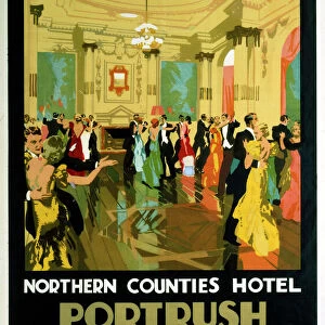
> Europe
> United Kingdom
> Northern Ireland
> County Antrim
> Portrush
> Europe
> United Kingdom
> Northern Ireland
> County Down
> Newcastle
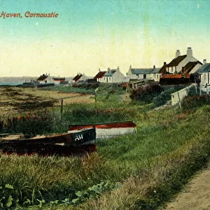
> Europe
> United Kingdom
> Scotland
> Angus
> Carnoustie
> Europe
> United Kingdom
> Wales
> Denbighshire
> St Asaph
> Map Marketing
> Postcode Sector Maps
> NE - Newcastle upon Tyne
> Maps and Charts
> Related Images
MADE IN THE USA
Safe Shipping with 30 Day Money Back Guarantee
FREE PERSONALISATION*
We are proud to offer a range of customisation features including Personalised Captions, Color Filters and Picture Zoom Tools
SECURE PAYMENTS
We happily accept a wide range of payment options so you can pay for the things you need in the way that is most convenient for you
* Options may vary by product and licensing agreement. Zoomed Pictures can be adjusted in the Cart.