Home > Europe > United Kingdom > Wales > Pembrokeshire > Pembroke
Test Valley SO51 8 Map

![]()
Wall Art and Photo Gifts from Map Marketing
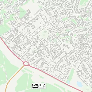
Test Valley SO51 8 Map
Postcode Sector Map of Test Valley SO51 8
Media ID 19978696
Albany Road Alma Road Bell Street Brewery Lane Brick Lane Broadwater Road Burma Road By Pass Road Causeway Church Lane Church Place Church Road Church Street Fleming Place Jubilee Road Lansdowne Gardens Latimer Street Linden Gardens Linden Road Love Lane Malmesbury Road Malthouse Close Market Place Mill Lane Mountbatten Avenue Narrow Lane Newton Lane Orchard Lane Palmerston Street Pembroke Close Princes Road Riverside Gardens Southampton Road Spring Place St Clements Close Station Approach Station Road Test Valley The Meads Victoria Place Winchester Road Corn Market Romsey
FEATURES IN THESE COLLECTIONS
> Asia
> Myanmar
> Related Images
> Europe
> United Kingdom
> Wales
> Pembrokeshire
> Pembroke
> Map Marketing
> Postcode Sector Maps
> SO - Southampton
MADE IN THE USA
Safe Shipping with 30 Day Money Back Guarantee
FREE PERSONALISATION*
We are proud to offer a range of customisation features including Personalised Captions, Color Filters and Picture Zoom Tools
SECURE PAYMENTS
We happily accept a wide range of payment options so you can pay for the things you need in the way that is most convenient for you
* Options may vary by product and licensing agreement. Zoomed Pictures can be adjusted in the Cart.