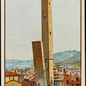
Home > Europe > Italy > Emilia-Romagna > Bologna
Map of the island of Santo Domingo (16th c. )
")
![]()
Wall Art and Photo Gifts from Mary Evans Picture Library
Map of the island of Santo Domingo (16th c. )
Map of the island of Santo Domingo (16th c.). ITALY. Bologna. Bologna University Library
Mary Evans Picture Library makes available wonderful images created for people to enjoy over the centuries
Media ID 8269925
© Mary Evans Picture Library 2015 - https://copyrighthub.org/s0/hub1/creation/maryevans/MaryEvansPictureID/10686958
Bologna Domingo Geographic Geographical Geography Santo University
FEATURES IN THESE COLLECTIONS
> Europe
> Italy
> Emilia-Romagna
> Bologna
> Maps and Charts
> Early Maps
> Maps and Charts
> Italy
EDITORS COMMENTS
1. Title: "Exploring the Past: A 16th Century Map of Santo Domingo from the Bologna University Library" This antique map, depicting the island of Santo Domingo, transports us back in time to the 16th century. Housed in the esteemed Bologna University Library in Italy, this map is a rare and valuable piece of geographical and historical documentation. The map, richly colored and intricately detailed, offers a glimpse into the early European exploration and colonization of the New World. Santo Domingo, the first permanent European settlement in the Americas, is depicted with remarkable accuracy for its time. The map reveals the island's diverse topography, from its mountainous interior to its coastal plains, and its major rivers and bays. The map's historical significance lies not only in its representation of the physical landscape, but also in its reflection of the European understanding of the world during the Age of Discovery. The map's borders are adorned with intricate cartouches and decorative elements, reflecting the artistic sensibilities of the time. The map's age and provenance add to its allure. The Bologna University Library, one of Europe's oldest and most renowned academic institutions, has preserved this historic map for centuries. The library's commitment to preserving and sharing knowledge makes it an invaluable resource for scholars and history enthusiasts alike. Exploring this map offers a unique opportunity to connect with the past and gain a deeper appreciation for the rich history of exploration and discovery. Whether used as a teaching tool, a decorative piece, or a source of inspiration, this 16th century map of Santo Domingo is a treasure to be cherished and celebrated.
MADE IN THE USA
Safe Shipping with 30 Day Money Back Guarantee
FREE PERSONALISATION*
We are proud to offer a range of customisation features including Personalised Captions, Color Filters and Picture Zoom Tools
SECURE PAYMENTS
We happily accept a wide range of payment options so you can pay for the things you need in the way that is most convenient for you
* Options may vary by product and licensing agreement. Zoomed Pictures can be adjusted in the Cart.