Home > Architecture > Industrial
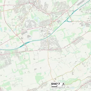
County Durham DL17 8 Map

![]()
Wall Art and Photo Gifts from Map Marketing
County Durham DL17 8 Map
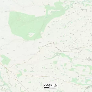
Postcode Sector Map of County Durham DL17 8
Media ID 19968540
A167 Alnwick Close Auckland Road Balmoral Road Barnard Road Beaumont Street Beech Crescent Beech Grove Belsay Close Bertha Street Bowes Close Broom Road Brunel Street Cavendish Court Chestnut Avenue Church Lane Church Road Coniston Road County Durham Darlington Road Dean Park Dean Road Derwent Road Durham Road Elm Road Faraday Street Gordon Terrace Grasmere Road Hawthorne Road Helmsley Close Holyoake Street Hudson Street Kelvin Street Lambton Road Lime Road Linden Road Main Street Manor Court Market Street Morpeth Close Napier Court Neale Street Newton Street North Street Owen Street Raby Road Ravensworth Road Richmond Close Rydal Road Skipton Close Southside Stanhope Close Stephenson Street Strawberry Lane The Garth Thirlmere Road Ullswater Road Watt Street Willow Road Windermere Road Windsor Avenue Wood Lane Walworth Road
FEATURES IN THESE COLLECTIONS
> Arts
> Artists
> O
> William Owen
> Arts
> Artists
> P
> Gordon Parks
> Arts
> Artists
> P
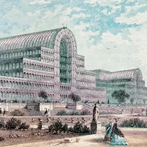
> Joseph Paxton
> Arts
> Artists
> W
> Joseph Wood
> Arts
> Artists
> W
> William Watts
> Europe
> United Kingdom
> England
> County Durham
> Darlington
> Europe
> United Kingdom
> England
> County Durham
> Durham
> Europe
> United Kingdom
> England
> County Durham
> Stanhope
> Europe
> United Kingdom
> England
> Durham
> Bowes
> Map Marketing
> Postcode Sector Maps
> DL - Darlington
MADE IN THE USA
Safe Shipping with 30 Day Money Back Guarantee
FREE PERSONALISATION*
We are proud to offer a range of customisation features including Personalised Captions, Color Filters and Picture Zoom Tools
SECURE PAYMENTS
We happily accept a wide range of payment options so you can pay for the things you need in the way that is most convenient for you
* Options may vary by product and licensing agreement. Zoomed Pictures can be adjusted in the Cart.