Home > Europe > United Kingdom > England > Birmingham > Area > Hall Green
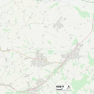
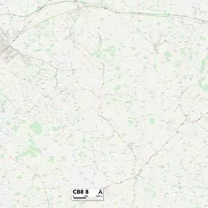
Sandwell B69 4 Map

![]()
Wall Art and Photo Gifts from Map Marketing
Sandwell B69 4 Map
Postcode Sector Map of Sandwell B69 4
Media ID 19965443
Albert Street Arden Grove Ashwood Close Beresford Road Birmingham Road Bridge Street Broad Street Canal Street Century Road Church Square Church Street Clay Lane Clements Close Clifton Close Cyprus Street Green Street Houghton Street John Street Langley Lodge Street Mallard Drive Manchester Street Market Street Mill Lane Nelson Street Old Park Lane Park Lane Park Street Parsonage Street Pinfold Street Pool Lane Popes Lane Poplar Avenue Poplar Road Queen Street Sandwell Seymour Road Simpson Street Spring Walk St Michaels Crescent Station Road Stone Street Sycamore Road Trinity Street Victoria Mews Waterside Court Wellington Street Wesley Street Western Road Woodfield Avenue Oldbury
FEATURES IN THESE COLLECTIONS
> Animals
> Birds
> Waterfowl
> Ducks
> Mallard
> Animals
> Mammals
> Muridae
> Western Mouse
> Arts
> Artists
> J
> John Jarvis
> Arts
> Artists
> J
> John Wesley Jarvis
> Arts
> Artists
> L
> John Lodge
> Arts
> Artists
> Q
> Queen Victoria Queen Victoria
> Arts
> Artists
> S
> John Simpson
> Arts
> Portraits
> Pop art gallery
> Street art portraits
> Asia
> Cyprus
> Related Images
> Europe
> United Kingdom
> England
> Birmingham
> Area
> Hall Green
> Map Marketing
> Postcode Sector Maps
> B - Birmingham
MADE IN THE USA
Safe Shipping with 30 Day Money Back Guarantee
FREE PERSONALISATION*
We are proud to offer a range of customisation features including Personalised Captions, Color Filters and Picture Zoom Tools
SECURE PAYMENTS
We happily accept a wide range of payment options so you can pay for the things you need in the way that is most convenient for you
* Options may vary by product and licensing agreement. Zoomed Pictures can be adjusted in the Cart.